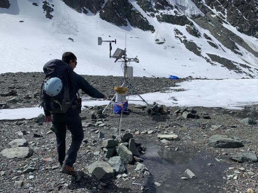
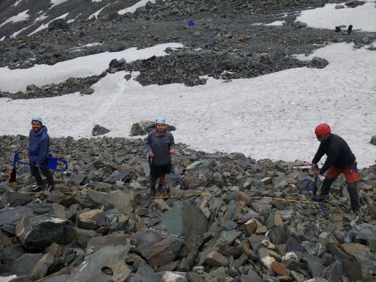
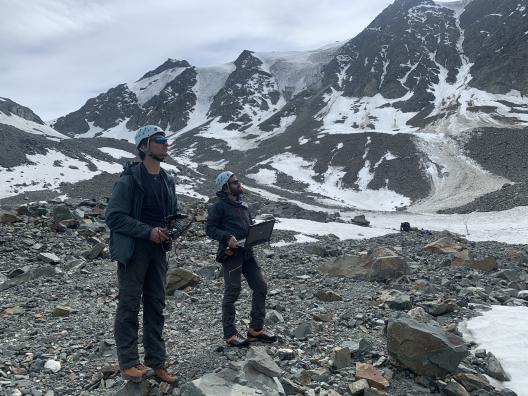
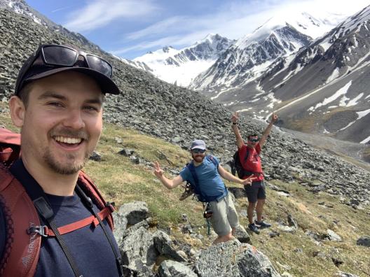
In June 2023, Adam Tjoelker, a master's student in the Department of Geography and a member of the Byrd Center's Glacier Environmental Change, spent three weeks working with a team of collaborators from the HC3 lab at the École de Technologie Supérieure (ÉTS) in Montreal, Quebec, led by Dr. Michel Baraër. Adam joined their team to conduct a novel drone-based ground penetrating radar (GPR) survey of a debris-covered glacier in Shár Shaw Tagà (Grizzly Creek), a valley experiencing glacial retreat in southwest Yukon, Canada.
The team has maintained a variety of sensors and engaged in biannual visits to the field site since 2018. In the June field campaign, they used a prototype monostatic drone-based GPR with three frequencies to measure buried ice along the transition from a debris-covered glacier to a rock glacier. Previously, these areas were inaccessible because traditional ground-based GPR methods cannot be used over steep, dangerous terrain. They compared their drone-based results to a ground-based GPR survey by conducting two smaller manual transects that overlapped the path covered by the drone. The preliminary results show that the drone-based GPR method successfully detected buried ice and can be used to extend the coverage of GPR surveys beyond where traditional ground-based GPR surveys are currently possible. They hope to deploy the drone-based GPR again to continue mapping the changes in debris-covered ice as the valley continues to experience melt. Future surveys will enable the changes in buried ice to be studied more accurately and improve understanding of how debris-covered ice responds to warming.